Skip to content
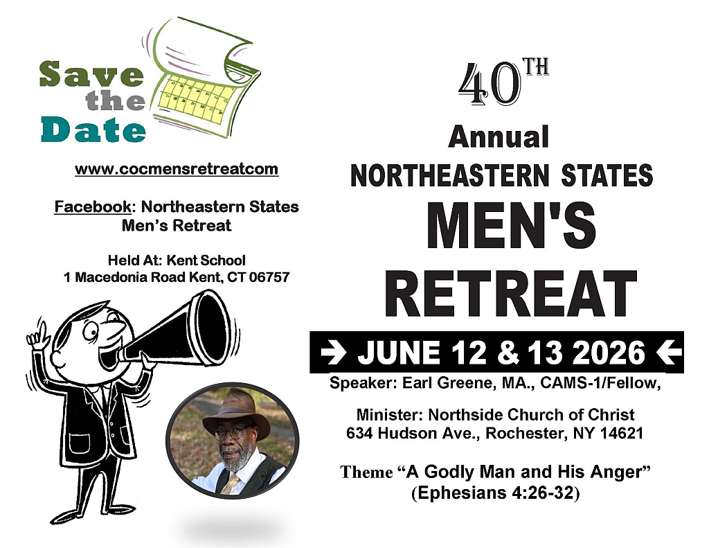
NorthEastern States Men's Retreat
“A Godly Man and His Anger” Ephesians 4:26-32 (June 12th & 13th 2026)
Skip to content
Home
Registration
2026 Flyer & Brochure
Schedule
Speaker Bio
Contact Us
Search for:
Search
Theme: “A Godly Man and His Anger” Ephesians 4:26-32
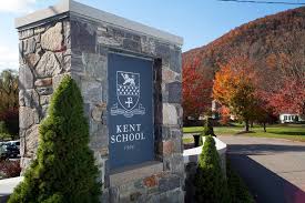
Hosted at Kent School, 1 Macedonia Rd, Kent, CT 06757